Programs -> Google Earth
| ||||||||||||||
Program Info:
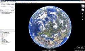
Google Earth a virtual earth. It uses satellite and air images to represent a freely explorable earth. You can zoom anywhere in the earth. While most of the surface is built of low quality satellite images are many towns and cities using high quality air images. Some of the buildings are visible as 3D-models. Google Earth uses the Google Maps map database so you can type in any address too move there. It is possible to send pictures and details attached to certain areas to be shown to other Google Earth users. Download from program's website:  Comments on program Google Earth: (Comments or discussion about the software.) - No comments - Write a comment: | ||||||||||||||
| mhProgramInfo 0.98 | ||||||||||||||


 MiikaHweb | 2003-2021